Carl will be stationed in New York and will be responsible for leading VisitBritain's efforts throughout the USA.
SOURCE: VisitBritain Names New Senior Vice President for the USA BY: eTurboNews | eTN
Breaking News Travel | Breaking Hotel News | Breaking Airline News | Breaking Destination News | Breaking Cruise News | Breaking Health News | Breaking Travel Alerts |
Sunrise over Cozumel, Mexico [Image by Michelle Raponi from Pixabay]Since the end of the pandemic, Mexico has risen so much in international popularity that it can be difficult to have a real Mexican experience. All the popular resort towns are aimed at Ameri..
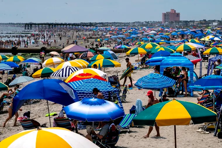
Why the vibrant boardwalks of Wildwood and the quaint charm of Cape May make Jersey Shore the ultimate beach destination overlooked by Travel and Leisure.
Travel tech companies say they need fee information from airlines to share with consumers trying to book flights.
The Colorado Department of Transportation adjusted the travel times for Gunnison CR 26, the detour road for the U.S. 50 Blue Mesa closure, by about a half an hour.
Tracee Ellis Ross is jet-setting and taking fans along for the ride in her new solo travel series for Roku Originals "Tracee Travels."
Taiwan's tourism sector has undergone a transformative change with the launch of Private Taiwan Tours, which are tailor-made
Hey there, fellow traveller! If you’re flying through Gatwick with kids, you’re in for a treat. Years of travelling from and to Gatwick airport has left me with tons of useful info. Seriously, gearing up a tad before your journey will help you zip through Gat..
Don’t you love spring when mother nature awakes, and the first flowers and bushes of the season begin to bloom? But why is it that we need to reach a certain age to appreciate the beauty of the great outdoors? Studies have shown that you are not born with an ..
Wander With Wonder - Discovering Wow Moments Around the World or Across the Street Discover the epitome of luxury in Belgium! Explore these top 6 luxury things to do in Belgium, from elegant cafes to prestigious Formula One racing. Belgium is an ideal destina..
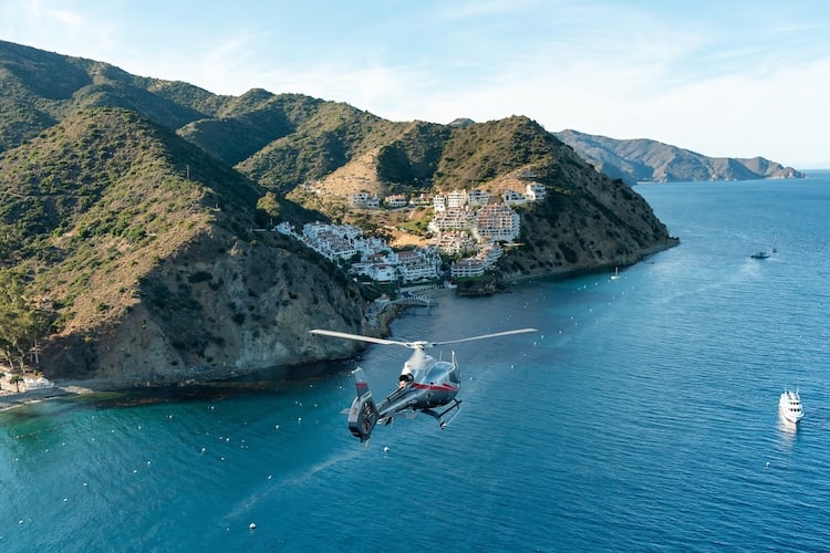
Catalina Island has a lot to offer; here are some travel tips and recommendations. Some offerings are seasonal; some are year round.
While some activities in Singapore are quite expensive, others are entirely free or nearly free. Furthermore, many parts of the city are attractions in themselves. To help you visit Singapore on a budget, here are some free attractions for your itinerary. The..
A Minnesota travel agent left about 71 travelers stranded with no accommodations in Costa Rica. On top of that, some travelers set to go to Aruba had their trip canceled two weeks before departure, finding out later they were never booked at their hotel. In March, the same travel agent left some Minnesotans stranded in Florida after cruise booking
From the hundreds of things to do on US Gulf Coast in May 2024 I narrowed my suggestions down to ... Read more
It appears that Air Canada has made some changes to the way passengers booked on specific fares can select seats upon check-in. It seems that travellers who’ve booked an Economy (Basic) or Economy (Standard) fare can no longer select a Standard seat for free..
Business leaders have come to rely on AB Jets to get them to the important business meetings or facilities. They depend on AB Jets' flexible schedule and access to regional airports.
Lo & Sons has mastered high-end luggage, and the T+L team can now confirm that their luxury purses are just as worthy of an investment for your travels. Read on to find the five styles that our editors can’t get enough of, from belt bags to crossbody purses.
Are you yearning for a truly exclusive vacation where you can live like the rich and famous? Look no further than Boat Trips Punta Cana, the epitome of luxury boat tours in the Dominican Republic. With their unparalleled service and meticulous attention to de..
Legit Bag Tags is a frontrunner in the travel accessories segment. The company is happy to declare the imminent launching of a new, larger-sized baggage tag,
Contrary to the misconception that veganism limits dining options, Johannesburg is a haven for diverse vegan menus. The city’s bustling streets and alleys are teeming with many delicious plant-based options, ensuring you’ll never run out of tasty choices. Fac..
Pet parents Tanveer Taj and Priyanka Jena (known as wheelsandtails) started travelling with their dogs, Frodo and Cruise, in 2015.
Sustainable travel [Image AmaWaterways River Cruises on YouTube]Monday, April 22 was Earth Day, and the luxury river cruise line, AmaWaterways was proud to reaffirm its commitment to sustainability. The cruise line shared a short video, revealing its current ..
Renting a sea view cottage is an enticing option for many looking to escape the hustle and bustle of daily life. These charming retreats offer stunning vistas of the ocean, providing a serene backdrop for relaxation and rejuvenation. Whether it’s the dramatic..
The optimism surrounding the ongoing talks in Cairo
The post Cairo Negotiations: Why Are Mediators Optimistic? appeared first on The Media Line.
Thank you, Dubai Police… Last week, more specifically, on Tuesday, April 16, the UAE was hit with some pretty intense weather, the aftermath of which residents are still trying to sort out over a week later. To help residents get back on track without taking ..
“They want to save face and find an
The post Trump’s ‘Face-Saving Plan’ for Ukraine and Russia appeared first on The Media Line.
In a recent appearance on International Quds Day,
The post Hizbullah’s Weapons Frighten Not Just the Israelis but Also the Lebanese appeared first on The Media Line.
Six months after the Gaza War outbreak, initially
The post A Game Between Netanyahu, Hamas, and Iran appeared first on The Media Line.
“By simply complying with the requirements we’ve laid
The post Just Like With Oslo, Yielding to International Pressures Will Bring Destruction and Death appeared first on The Media Line.
Here's how to spend one day in Rotterdam in the Netherlands. It's the ultimate Rotterdam itinerary to have an amazing day in the city.


